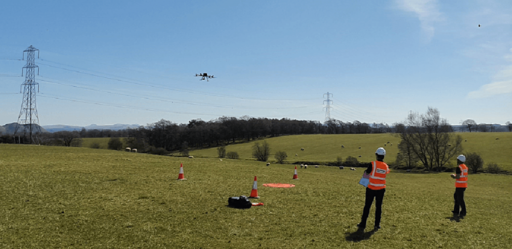
Keltbray, a leading specialist engineering business and provider of overhead line and substation services, is using drones to double inspection efficiency and cut carbon emissions by almost 50%.
Keltbray has invested in the DJI M300 RTK platform and its ecosystem of powerful cameras to collect better quality data, quicker and safer than before.
The team is benefiting from zoom and thermal imagery during condition-based inspections, while photogrammetry and LiDAR is providing enhanced mission planning and tackling challenges associated with traditional methods of powerline construction.
Keltbray turned to the UK’s leading drone supplier, heliguy™, to adopt the technology, which is proving an effective tool.
Gordon Cranston, Project Construction Manager at Keltbray Energy, said: “Innovation is at the forefront of our business and drones are the future, bringing so many benefits to our operations.
“Through a relatively small investment, drones reduce business risks and costs, enable us to access and develop new market places, and increase overall safety within high-risk environments which naturally drives efficiency during projects.”
Drones for Condition-based Assessments
Drones have revolutionised the way that Keltbray conducts condition-based assessments, replacing a once time-consuming, labour-intensive and high-risk process with a highly efficient, safe, and data-rich alternative.
This removes the need to deploy costly all-terrain vehicles, stops staff having to work at height or clamber over difficult terrain, helps to identify rust or defects in great detail, eliminates asset downtime, and cuts inspection costs.
The camera also enables Keltbray to collect thermal imagery, enabling the team to spot defects or issues to help prevent fires that can occur as a result of failures in power lines.
Using this technology, Keltbray is now able to inspect six electricity towers per day – up from three with traditional methods – and has cut carbon emissions by 45.46%, per pylon.
The DJI M300 RTK has an IP45 rating, meaning it can operate effectively in difficult weather conditions, while its RTK system provides great stability in areas of high electromagnetic interference.
Gordon said: “Drones provide an efficient and effective way of understanding the remaining lifespan of aging assets and determining investment programmes.”
Drone Surveying for Advanced Mission Planning
Keltbray is using drone surveying techniques for advanced mission planning, deploying the 45MP P1 photogrammetry camera and L1 LiDAR sensor, in conjunction with the DJI Terra drone mapping software package, to create highly-detailed, centimeter-accurate 3D models and point clouds.
This enables the team to extract crucial site information – such as details about terrain, slopes, gradients, routing issues and safety distances between powerlines and buildings, for vital pre-job insights, while the visual 3D site models streamline communication with clients and stakeholders.
Drones are also proving valuable for post-construction surveys. In one example, Keltbray’s drone captured data over a 1km stretch in under two minutes.